| Online link | https://cmgds.marine.usgs.gov/catalog/whcmsc/field_activities/2014_009_fa/2014-009-FA_512i_500sht_meta.faq.html |
|---|---|
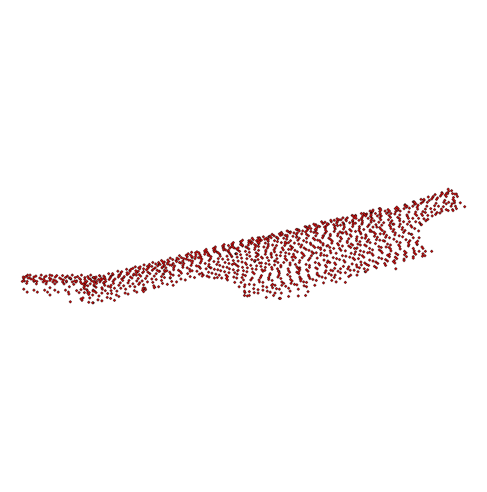
| Description | The U.S. Geological Survey (USGS) conducted a geophysical and sampling survey in October 2014 that focused on a series of shoreface-attached ridges offshore of western Fire Island, NY. Seismic-reflection data, surficial grab samples and bottom photographs and video were collected along the lower shoreface and inner continental shelf. The purpose of this survey was to assess the impact of Hurricane Sandy on this coastal region. These data were compared to seismic-reflection and surficial sediment data collected by the USGS in the same area in 2011 to evaluate any post-storm changes in seabed morphology and modern sediment thickness on the inner continental shelf. For more information about the WHCMSC Field Activity, see: https://cmgds.marine.usgs.gov/fan_info.php?fan=2014-009-FA. [More] |
| Originators | U.S. Geological Survey; Denny, Jane F.; Schwab, William C.; Ackerman, Seth D.; Baldwin, Wayne E.; Danforth, William W.; Moore, Eric M.; Nichols, Alexander R.; and Worley, Charles R. |
| Field activities | 2014-009-FA |
