| Description |
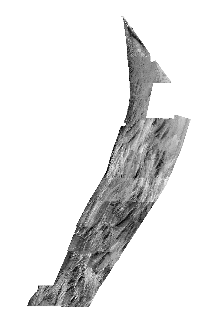
Between 2006 and 2011 Science Applications International Corporation (SAIC), under contract by the National Oceanic and Atmospheric Administration's (NOAA) National Ocean Service (NOS), collected twenty-three hydrographic surveys totaling over 4100 square-kilometers of Reson multibeam bathymetric and Klein sidescan-sonar data for the purposes of updating nautical charts. Data extended from the entrance of Delaware Bay south to Parramore Island in water depths from about 3 to 35 meters below mean lower low water. Data were collected at a fixed 40-meter line spacing which provided 40-100 percent seafloor coverage for multibeam bathymetry. NOS releases processed bathymetry via an interactive map interface in bathymetry attributed grid (BAG) format. All twenty-three survey datasets were downloaded, merged, resampled, and interpolated to fill data gaps. Sidescan data products are limited within the Delmarva survey area and there are no multibeam backscatter data products available. The U.S. Geological Survey obtained the raw RESON multibeam data files from SAIC and NOAA for twenty of the hydrographic surveys and extracted the backscatter data using Quality Positioning Service's (QPS) Fledermaus FMGeocoder Toolbox (FMGT) to produce backscatter mosaics for the inner-continental shelf of the Delmarva Peninsula. Backscatter mosaics and regional seamless bathymetric datasets created from NOAA data are a valuable tool for characterizing seafloor geology, sediment transport pathways, and marine resources. Additionally, obtaining this near full seafloor coverage backscatter and bathymetry dataset from an existing source greatly increased project deliverables, geophysical survey efficiency, collaboration among government agencies, and the area over which geologic data interpretations can be conducted by the USGS. [More]
|
