| Description |
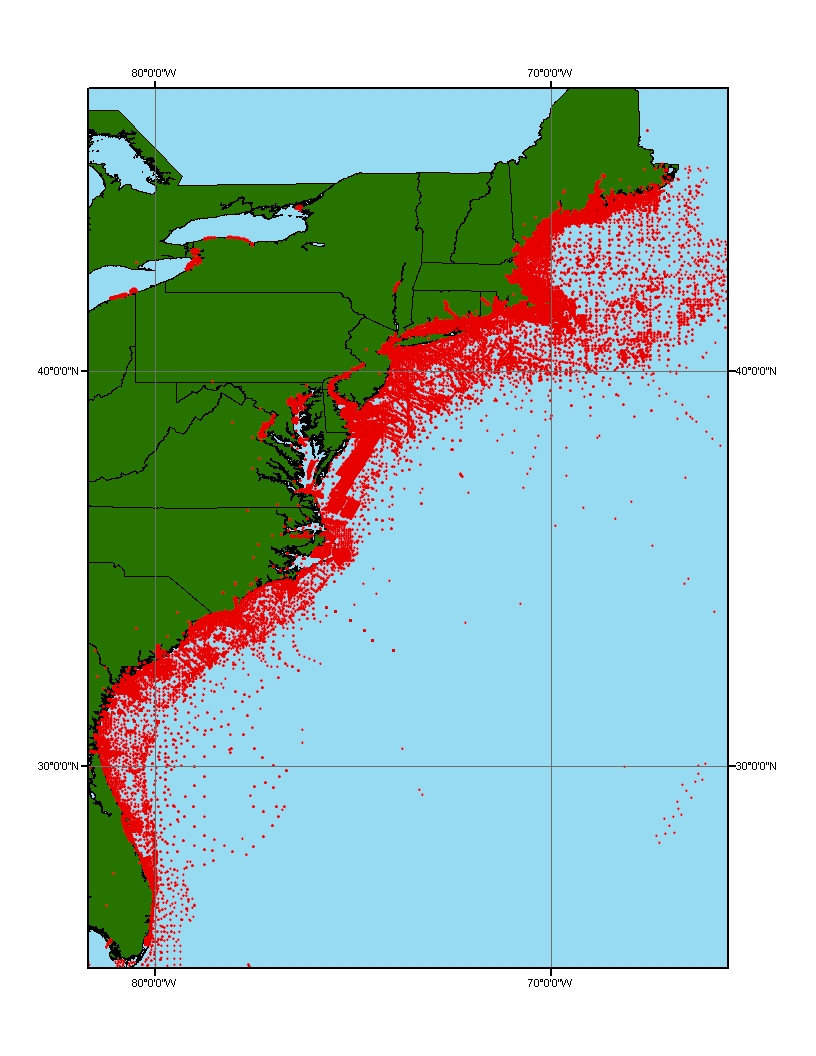
This data layer is a point coverage of known sediment samplings, inspections and probings from the usSEABED data collection and integrated using the software system dbSEABED. This data layer represents the parsed (PRS) output of the dbSEABED mining software. It contains the results of parsing descriptions in the data resources. The PRS data is less precise because it comes from word-based descriptions, but will include information on outsized elements, consolidation that are not usually in EXT data. |
