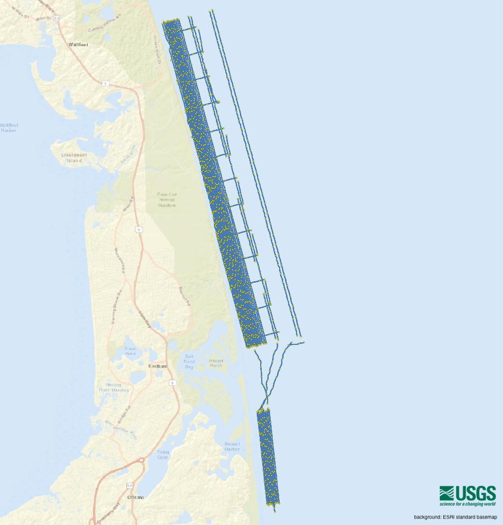
| Description |
The U.S. Geological Survey (USGS) Woods Hole Coastal and Marine Science Center (WHCMSC) completed a bathymetric and shallow seismic-reflection survey during the period of June 9, 2021 to June 24, 2021 in water depths from 2 m to 30 m for a portion of the outer Cape Cod nearshore environment between Marconi and Nauset Beaches. The products from this survey will help to support white shark research on their shallow-water behavior in the dynamic nearshore environment at Cape Cod National Seashore (CACO). CACO visitors’ safety is threatened by interactions between the public and white sharks. This project provides CACO with baseline data and information on nearshore white shark habitat, specifically in the nearshore shoreface, bathymetric trough, and longshore bar. This data release provides the geophysical data collected from outer Cape Cod during USGS Field Activities 2021-002-FA in 2021. [More]
|
