| Description |
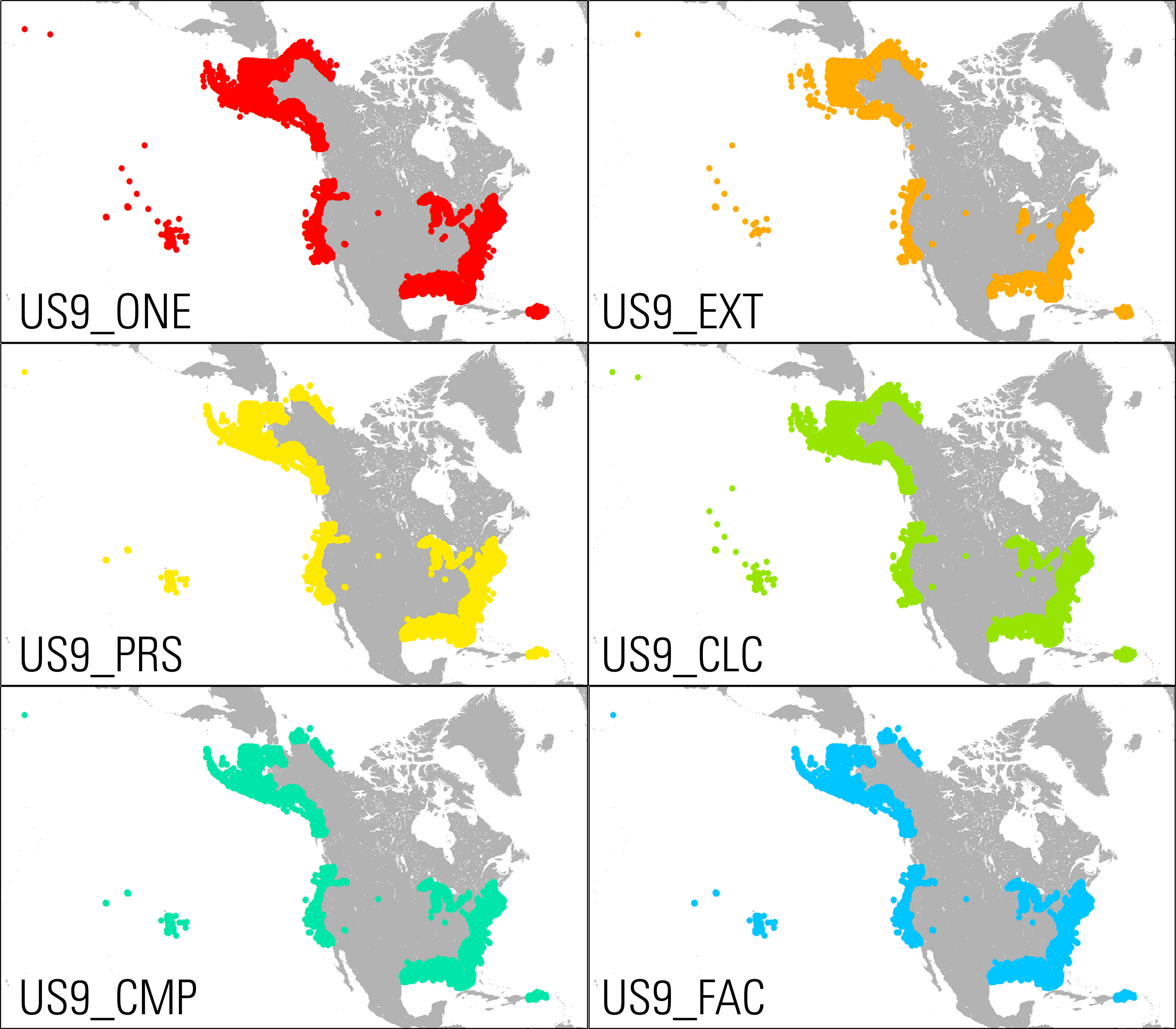
Since the second half of the 20th century, there has been an increase in scientific interest, research effort, and information gathered on the geologic sedimentary character of the continental margins of the United States. Data and information from thousands of sources have increased our scientific understanding of the geologic origins of the margin surface but rarely have those data been combined into a unified database. Initially, usSEABED was created by the U.S. Geological Survey (USGS), in cooperation with the Institute of Arctic and Alpine Research at the University of Colorado Boulder, for assessments of marine-based aggregates and for studies of sea-floor habitats by the U.S. Geological Survey (USGS). Since then, the USGS has continued to build up the database as a nationwide resource for many uses and applications. Previously published data derived from the usSEABED database have been released as three USGS data series publications containing data covering the U.S. Atlantic margin, the Gulf of Mexico and Caribbean regions, and the Pacific coast (Reid and others, 2005; Buczkowski and others, 2006; and Reid and others, 2006). This expanded USGS data release unifies the data from these three publications and includes an additional 54 data sources added to usSEABED since the original data series, provides revised output files, and expands the data coverage to include usSEABED data from all areas within the U.S. Exclusive Economic Zone (EEZ) as of the time of publication (including Alaska, Hawaii, and U.S. overseas territories). The usSEABED database was created using the most recent stable version of the dbSEABED software available to the USGS at the time of release (specifically, dbSEABED software [NMEv, version date 4/23/2010] using the dbSEABED thesaurus [db9 dict.rtf, version date 8/21/2009], the component set up file for U.S. waters [SET ABUN 2016.txt, version date 5/29/2016], and the facies set up file for U.S. waters [SET FACI.txt, version date 3/16/2012]). The USGS Open-File Report "Sediments and the sea floor of the continental shelves and coastal waters of the United States: About the usSEABED integrated sea-floor-characterization database, built with the dbSEABED processing system" (Buczkowski and others, 2020) accompanies this data release and provides information on the usSEABED database as well as the dbSEABED data processing system. Users are encouraged to read this companion report to learn more about how usSEABED is built, how the data should be interpreted, and how they are best used. [More]
|
