| Description |
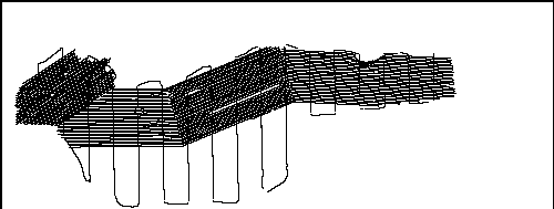
In 2010, the U.S. Geological Survey in Woods Hole, MA and St. Petersburg, FL, in partnership with the U.S. Army Corps of Engineers, Mobile District conducted geologic mapping to characterize the seafloor and shallow subsurface stratigraphy offshore of the Gulf Islands of Mississippi. The mapping was carried out during two cruises in March, 2010 on the R/V Tommy Munro of Biloxi, MS. Data were acquired with the following equipment: an SEA Ltd SwathPlus interferometric sonar (both 234 kHz and 468 kHz systems), a Klein 3000 and a Klein 3900 dual frequency sidescan-sonar, and an Edgetech 512i chirp subbottom profiling system. The long-term goal of this mapping effort is to produce high-quality, high-resolution geologic maps and geophysical interpretations that can be utilized to identify sand resources within the region and better understand the Holocene evolution and anticipate future changes in this coastal system. More information on the field work can be accessed from the Woods Hole Coastal and Marine Science Center Field Activity webpage https://cmgds.marine.usgs.gov/fan_info.php?fan=2010-012-FA or the St. Petersburg Coastal and Marine Geology InfoBank https://walrus.wr.usgs.gov/infobank/m/m210gm/html/m-2-10-gm.meta.html. [More]
|
