| Description |
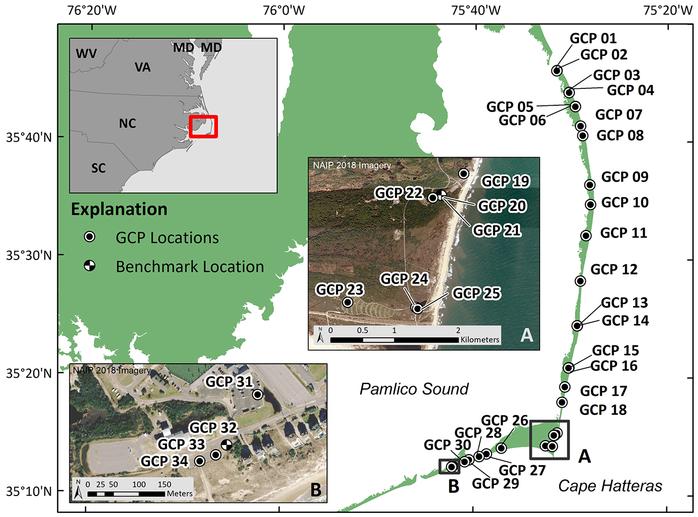
The U.S. Geological Survey (USGS) Remote Sensing Coastal Change (RSCC) project surveyed 34 features visible from the air to be used as ground control points (GCP) on the Outer Banks, North Carolina, on September 24 and 25, 2019, after the passing of Hurricane Dorian (U.S. landfall on September 6, 2019). Global Positioning System (GPS) data were collected in support of aerial imagery surveys documenting the storm impacts and subsequent recovery along the coast and will be used as control and check points in Structure-from-Motion (SfM) photogrammetry processing to produce topographic maps. This dataset consists of horizontal and vertical positions of permanent GCPs, measured using Real-Time Kinematic (RTK) Global Navigation Satellite System (GNSS) equipment. The data are provided in comma-separated values (.csv) delimited text format, in both geographic and projected (Universal Transverse Mercator Zone 18N) coordinates, and vertical measurements are provided as both ellipsoid and orthometric heights. All horizontal coordinates and ellipsoid heights are referenced to the North American Datum of 1983 (NAD83(2011)), and orthometric heights are referenced to the North American Vertical Datum of 1988 (NAVD88), GEOID12B. Additional information as well as photographs for each GCP (120 photos were collected, in total) are also included. [More]
|
