| Description |
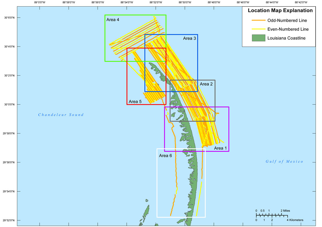
In June of 2011, the U.S. Geological Survey conducted a geophysical survey offshore of the Chandeleur Islands, LA to investigate the geologic controls on barrier island framework. This report serves as an archive of unprocessed digital chirp subbottom data, trackline maps, navigation files, GIS information, and formal FGDC metadata. Gained digital images of the seismic profiles are also provided. The archived trace data are in standard Society of Exploration Geophysicists (SEG) SEG Y revision 0 format (Barry and others, 1975) and may be downloaded and processed with commercial or public domain software such as Seismic Unix (SU). Example SU processing scripts and USGS software for viewing the SEG Y files (Zihlman, 1992) are also provided. These data are also available for viewing using GeoMapApp (http://www.geomapapp.org/) and Virtual Ocean (http://www.virtualocean.org/) multi-platform open source software. In addition, the SEG Y files can also be downloaded from the USGS Coastal and Marine Geoscience Data System (http://cmgds.marine.usgs.gov) [More]
|
