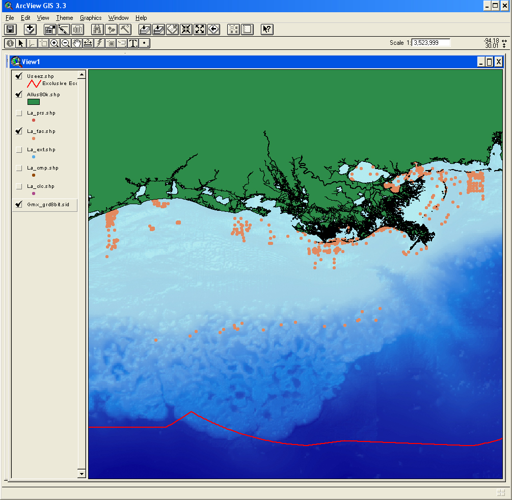
| Description |
The facies data layer (FAC) is a point coverage of known sediment samplings, inspections, and probings from the usSEABED data collection and integrated using the software system dbSEABED. The facies data layer (FAC) represents concatenated information about components (minerals and rock type), genesis (igneous, metamorphic, carbonate, terrigenous), and other appropriate groupings of information about the seafloor. The facies data are parsed from written descriptions from cores, grabs, photographs, and videos, and may apply only to a subsample as denoted by the Top, Bottom, and SamplePhase fields. Lack of values in a defined facies field does not necessarily imply lack of the components defining that field, but may imply a lack of data for that field. [More]
|
