| Description |
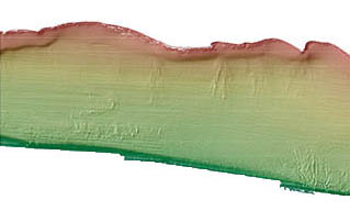
This part of DS 781 presents data for the bathymetry map of the Offshore of Refugio Beach map area, California. The raster data file for the bathymetry map is included in "Bathymetry_OffshoreRefugioBeach.zip," which is accessible from https://pubs.usgs.gov/ds/781/OffshoreRefugioBeach/data_catalog_OffshoreRefugioBeach.html. These data accompany the pamphlet and map sheets of Johnson, S.Y., Dartnell, P., Cochrane, G.R., Golden, N.E., Phillips, E.L., Ritchie, A.C., Krigsman, L.M., Dieter, B.E., Conrad, J.E., Greene, H.G., Seitz, G.G., Endris, C.A., Sliter, R.W., Wong, F.L., Erdey, M.D., Gutierrez, C.I., Yoklavich, M.M., East, A.E., and Hart, P.E. (S.Y. Johnson and S.A. Cochran, eds.), 2015, California State Waters Map Series—Offshore of Refugio Beach, California: U.S. Geological Survey Scientific Investigations Map 3319, pamphlet 42 p., 11 sheets, scale 1:24,000, https://doi.org/10.3133/sim3319. The bathymetry map of the Offshore of Refugio Beach map area, California, was generated from bathymetry data collected by the U.S. Geological Survey (USGS), and by Fugro Pelagos, for the U.S. Army Corps of Engineers (USACE) Joint Lidar Bathymetry Technical Center of Expertise. The offshore region was mapped by the USGS in 2008, using a 234.5-kHz SEA (AP) Ltd. SWATHplus-M phase-differencing sidescan sonar. The nearshore bathymetry and coastal topography were mapped for USACE by Fugro Pelagos in 2009, using the SHOALS-1000T bathymetric-lidar and Leica ALS60 topographic-lidar systems. All these mapping missions combined to collect bathymetry from the 0-m isobath to beyond the 3-nautical-mile limit of California's State Waters. [More]
|
