| Description |
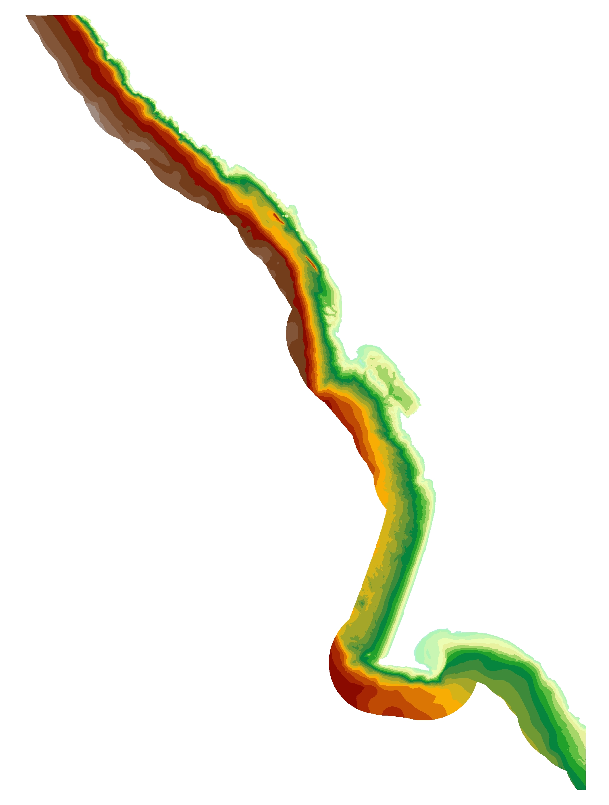
This part of DS 781 presents data for the depth-to-transition map of the Salt Point to Drakes Bay, California, region. The raster data file is included in "DepthToTransition_SaltPointToDrakesBay.zip," which is accessible from https://pubs.usgs.gov/ds/781/SaltPointToDrakesBay/data_catalog_SaltPointToDrakesBay.html. As part of the USGS's California State Waters Mapping Project, a 20-m grid of depth to the transgressive surface of the last glacial maximum was generated for the areas within the 3-nautical mile limit between Salt Point and Drakes Bay was generated from seismic-reflection data collected in 2009 supplemented with outcrop and geologic structure from DS 781. The resulting grid covers an area of approximately 717 sq km. The depth to the transgressive surface of the Last Glacial Maximum ranges between 4 and 78 meters. [More]
|
