| Description |
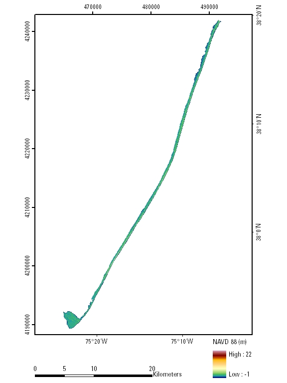
A digital elevation model (DEM) of a portion of the Assateague Island National Seashore in Maryland and Virginia, post-Nor'Ida (November 2009 nor'easter), was produced from remotely sensed, geographically referenced elevation measurements cooperatively by the U.S. Geological Survey (USGS) and the National Park Service (NPS). Elevation measurements were collected over the area using the Experimental Advanced Airborne Research Lidar (EAARL), a pulsed laser ranging system mounted onboard an aircraft to measure ground elevation, vegetation canopy, and coastal topography. The system uses high-frequency laser beams directed at the Earth's surface through an opening in the bottom of the aircraft's fuselage. The laser system records the time difference between emission of the laser beam and the reception of the reflected laser signal in the aircraft. The plane travels over the target area at approximately 50 meters per second at an elevation of approximately 300 meters, resulting in a laser swath of approximately 240 meters with an average point spacing of 2-3 meters. The EAARL, developed originally by NASA at Wallops Flight Facility in Virginia, measures ground elevation with a vertical resolution of +/-15 centimeters. A sampling rate of 3 kilohertz or higher results in an extremely dense spatial elevation dataset. Over 100 kilometers of coastline can be surveyed easily within a 3- to 4-hour mission. When subsequent elevation maps for an area are analyzed, they provide a useful tool to make management decisions regarding land development. For more information on Lidar science and the Experimental Advanced Airborne Research Lidar (EAARL) system and surveys, see http://ngom.usgs.gov/dsp/overview/index.php and http://ngom.usgs.gov/dsp/tech/eaarl/index.php . [More]
|
