| Description |
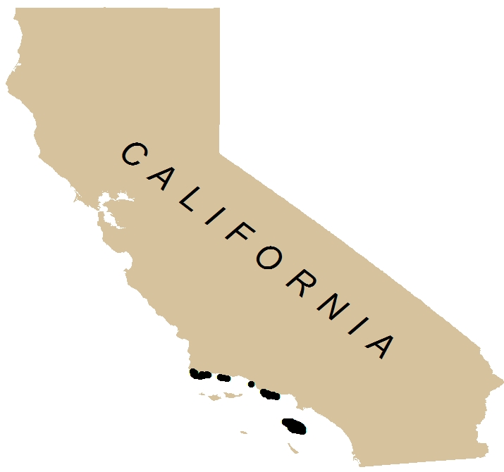
This part of DS 781 presents video observations from cruise SW109SC for the Santa Barbara Channel region and beyond in southern California. The vector data file is included in "sw109sc_video_observations.zip," which is accessible from https://pubs.usgs.gov/ds/781/video_observations/data_catalog_video_observations.html. Between 2006 and 2007, the seafloor in southern California was mapped by California State University, Monterey Bay, Seafloor Mapping Lab (CSUMB) and by the U.S. Geological Survey (USGS), using both multibeam echosounders and bathymetric sidescan sonar units. These mapping missions combined to collect bathymetry and acoustic-backscatter data from about the 10-m isobath to out beyond the 3-nautical-mile limit of California's State Waters. To validate the interpretations of sonar data in order to turn it into geologically and biologically useful information, the USGS ground-truth surveyed the data by towing camera sleds over specific locations throughout the region. During the 2008 ground-truth cruise, the camera sled housed two video cameras (one forward looking and the other vertical looking), a high-definition video camera, and an 8-megapixel digital still camera. The video was fed in real time to the research vessel, where USGS and NOAA scientists recorded both the geologic and biologic character of the seafloor into programmable keypads once every minute. In addition to recording the seafloor characteristics, a digital still photograph was captured once every 30 seconds. This ArcGIS shape file includes the position of the camera, the time each observation was started, and the visual observations of geologic and biologic habitat. [More]
|
