| Online link | https://cmgds.marine.usgs.gov/catalog/pcmsc/SeriesReports/DS_DDS/DS_236/tidestations.shp.faq.html |
|---|---|
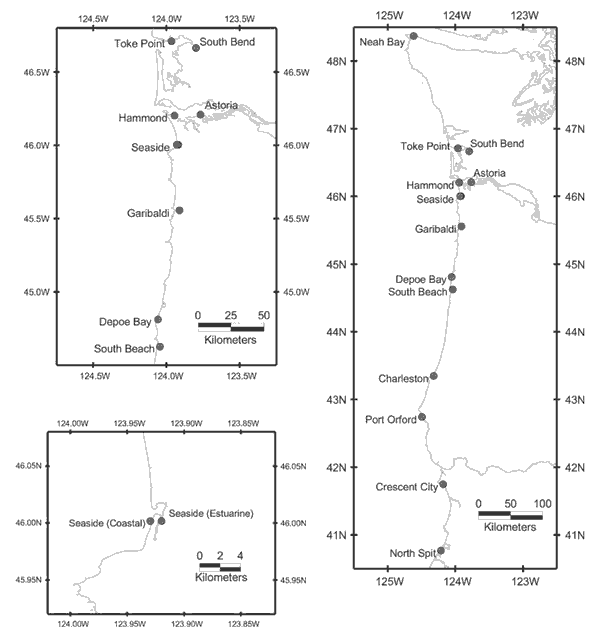
| Description | This geospatial data set depicts the locations of National Ocean Service water-level stations to determine tidal datum distributions with the Seaside, Oregon, region. |
| Originators | National Oceanic and Atmospheric Administration; Wong, Florence L.; Venturato, Angie J.; and Geist, Eric L. |
