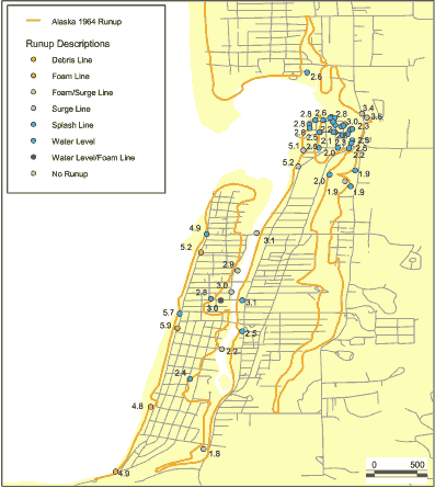
| Online link | https://cmgds.marine.usgs.gov/catalog/pcmsc/SeriesReports/DS_DDS/DS_236/alaska1964_obs.shp.faq.html |
|---|---|
| Description | This data set is a point shapefile representing observations of inundation and water levels from the Alaska 1964 event obtained by Tom Horning (1997). The geospatial dataset were derived from a spreadsheet provided by Bruce Jaffe. |
| Originators | Horning, Tom; National Oceanic and Atmospheric Administration; Wong, Florence L.; Venturato, Angie J.; and Geist, Eric L. |
