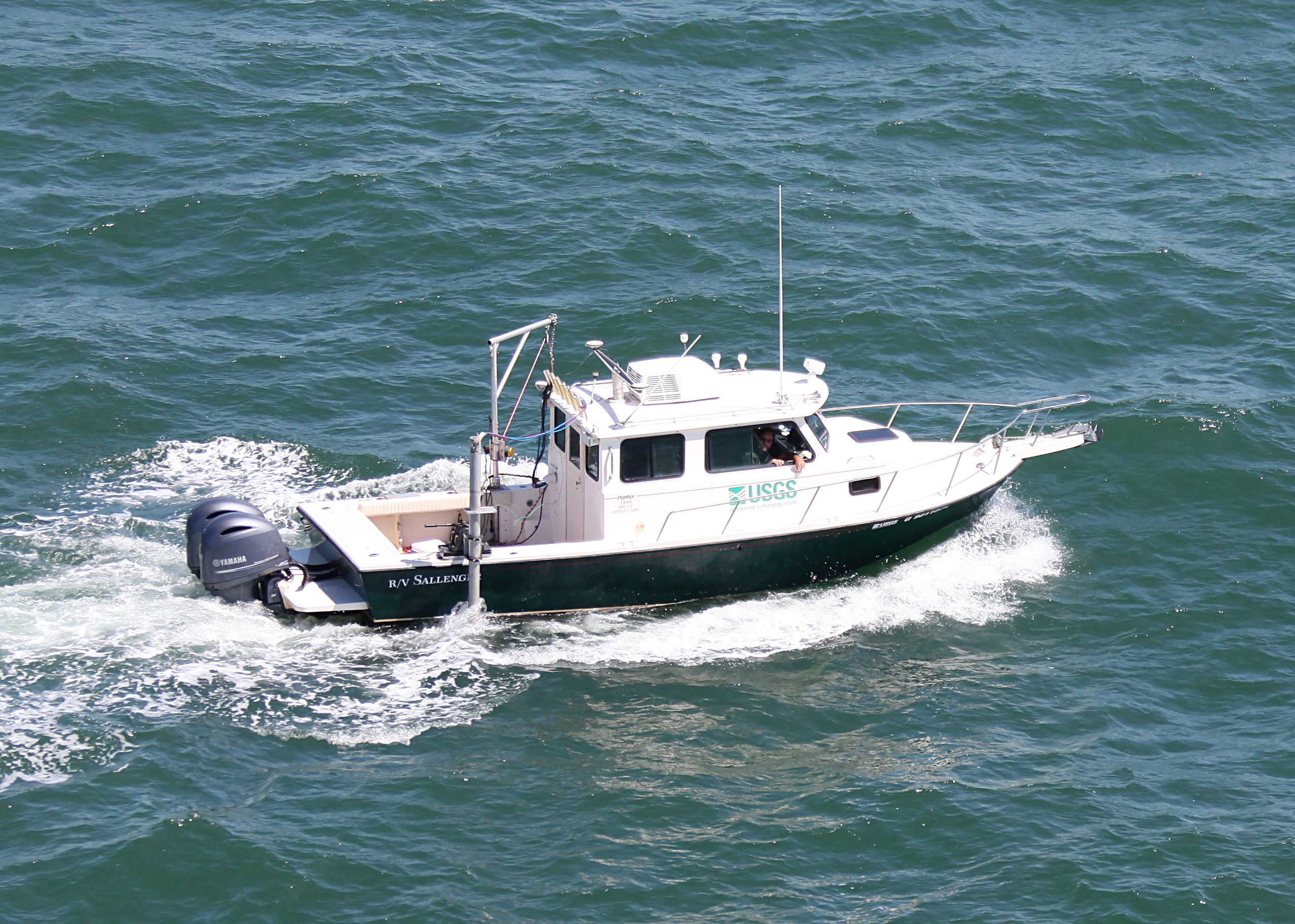
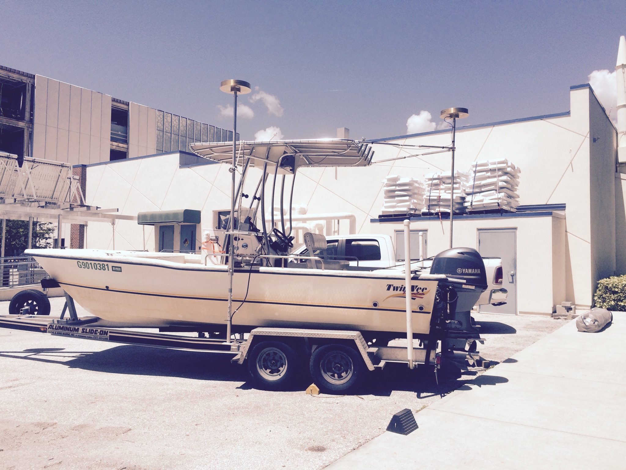
Other ID: 16BIM04 - RV Sallenger; 16BIM05 - RV Jabba Jaw; 16BIM06 - RV Mako
Status: Completed
Organization(s): USGS, St. Petersburg Coastal and Marine Science Center
Funding Program(s): Mississippi Coastal Improvements Program - MsCIP (Flocks) (GR.19.MN00.D8U16.00)
Principal Investigator(s): James Flocks
Affiliate Investigator(s):
Information Specialist(s): Nancy DeWitt
Data Type(s): Location-Elevation: Benchmarks, Location-Elevation: Navigation, Sonar: Interferometric, Sonar: Single Beam, Sonar: Sound Velocity
Scientific Purpose/Goals: Investigate nearshore morphology, compare bathymetry with previous datasets
Vehicle(s): Chevy Suburban Silver, Ford F-350 Dually Silver (GSA), Rental Vehicle
Start Port/Location: Biloxi, MS
End Port/Location: Biloxi, MS
Start Date: 2016-07-11
End Date: 2016-07-25
Equipment Used: Ashtech ProFlex 800 GNSS Receiver, Ashtech Z-Xtreme DGPS, Choke Ring Antenna, Collapsible Tripod, F190 DGPS/IMU, ODOM-Echotrac CV-100, Single-beam Acoustic Sounder, TSS DMS-05 Motion Sensor, Interferometric Bathymetry System, Castaway-CTD, Valeport SVP
Information to be Derived: XYZ bathymetric data points and a digital elevation model of the survey area.
Summary of Activity and Data Gathered: Collected 773 kilometers of single-beam bathymetric lines (333 lines); 627 kilometers of interferometric swath Bathymetry (166 lines); 110 sound velocity profiles; GPS data from four base stations in Rinex format.
Staff: Nancy DeWitt, Andrew Farmer, James Flocks, Joseph Fredericks, Kyle Kelso, Chelsea Stalk, Thomas Tuten
Affiliate Staff:
Notes:
Location:
Ship Island, Horn Island, Mississippi, Gulf Islands National Seashore, Biloxi
| Boundaries | |||
|---|---|---|---|
| North: 30.26403424 | South: 30.19037858 | West: -89.0071 | East: -88.52068481 |
Platform(s):
 Mako (SP) |  Sallenger |  22-ft Twin Vee (R/V G. Hill) |
Buster, N.A., Brenner, O.T., Flocks, J.G., 2017, Historical and recent coastal bathymetry data nearshore Ship, Horn, and Petit Bois Islands, Mississippi: U.S. Geological Survey data release, https://doi.org/10.5066/F7028QFV.
DeWitt, N.T., Stalk, C.A., Fredericks, J.J., Flocks, J.G., Kelso, K.W., Farmer, A.S., Tuten, T.M., Buster, N.A., 2017, Coastal bathymetry data collected in 2016 nearshore from West Ship Island to Horn Island, Gulf Islands National Seashore, Mississippi: U.S. Geological Survey data release, https://doi.org/10.5066/F7B8571Q.
DeWitt, N.T., Stalk, C.A., Fredericks, J.J., Flocks, J.G., Kelso, K.W., Farmer, A.S., Tuten, T.M., Buster, N.A., 2018, Nearshore coastal bathymetry data collected in 2016 from West Ship Island to Horn Island, Gulf Islands National Seashore, Mississippi: U.S. Geological Survey Data Series 1081, https://doi.org/10.3133/ds1081.
Flocks, J.G., Buster, N.A., Brenner, O.T., 2020, Seafloor change around the Mississippi barrier islands, 1920 to 2016-The influence of storm effects on inlet and island morphodynamics: U.S. Geological Survey Open-File Report 2019-1140, 30 p., https://doi.org/10.3133/ofr20191140.
| Survey Equipment | Survey Info | Data Type(s) | Data Collected |
|---|---|---|---|
| Ashtech ProFlex 800 GNSS Receiver | --- | Benchmarks Navigation | |
| Ashtech Z-Xtreme DGPS | --- | Benchmarks Navigation | |
| Choke Ring Antenna | --- | Benchmarks Navigation | |
| Collapsible Tripod | --- | Benchmarks Navigation Profiles Transects | |
| F190 DGPS/IMU | --- | Navigation | |
| ODOM-Echotrac CV-100 | --- | Single Beam | |
| Single-beam Acoustic Sounder | --- | Single Beam | Ship_Horn_Island_2016_IFB_SBB_NAD83_NAVD88_GEOID12B_50_DEM (Bathymetry DEM, 50-m cell size, in NAD83 and NAVD88 with respect to the GEOID12B model.) Ship_Horn_Island_2016_SBB_ITRF00_tracklines (Single-beam tracklines in ITRF00.) Ship_Horn_Island_2016_SBB_ITRF00_xyz (Single-beam soundings (xyz) in ITRF00 and ellipsoid height.) Ship_Horn_Island_2016_SBB_NAD83_MLLW_xyz (Single-beam soundings (xyz) in NAD83 and MLLW.) Ship_Horn_Island_2016_SBB_NAD83_tracklines (Single-beam bathymetry trackline shapefile in NAD83.) Ship_Horn_Island_2016_SBB_NAD83_NAVD88_GEOID12B_xyz (Single-beam soundings in (xyz) in NAD83 and NAVD88-GEOID12B.) |
| TSS DMS-05 Motion Sensor | --- | Interferometric Single Beam | |
| Interferometric Bathymetry System | --- | Interferometric | Ship_Horn_Island_2016_IFB_ITRF00_5m_xyz (Interferometric bathymetry soundings (xyz) in ITRF00 and ellipsoid height.) Ship_Horn_Island_2016_IFB_ITRF00_tracklines (Interferometric bathymetry trackline shapefile in ITRF00.) Ship_Horn_Island_2016_IFB_NAD83_NAVD88_GEOID12B_5m_xyz (Interferometric bathymetry soundings (xyz) in NAD83 and NAVD88-GEO12B.) Ship_Horn_Island_2016_IFB_NAD83_tracklines (Interferometric bathymetry trackline shapefile in NAD83.) Ship_Horn_Island_2016_IFB_NAD83_MLLW_5m_xyz (Interferometric bathymetry soundings (xyz) in NAD83 and MLLW.) 2016minus1916to1920_MS_ NAD83NAVD88g12B_50m.zip (Elevation change as a DEM ) 2016_MS_NAD83NAVD88g12B_50m.zip (Interpolated DEM) 2016minus2008to2009_MS_ NAD83NAVD88g12B_50m.zip (Elevation change as a DEM ) MS2016_snapraster_50m.zip (50-meter snap grid for interpolated DEMs ) |
| Castaway-CTD | --- | Sound Velocity | |
| Valeport SVP | --- | Sound Velocity |