The image displayed on this page is a thumbnail, please use the download function to obtain the full-resolution image.
Filename: DROPCAM_PUHO18_20220415205109_200-14.jpg
This image is part of the data release:
Underwater imagery of the substrate and coral reef habitat on the Kona Coast of the Island of Hawaii, from 2003, 2004, and 2022
Image data:
- Keywords:
- Collection:
2022-615-FA classified images
- Field activity number:
2022-615-FA:
More images from FAN |
CMGDS details
- Topic: Mapping, Remote Sensing, and Geospatial Data
- Purpose: Field activity
- Class: Seafloor
- Subject: seafloor
- Semantic Location: Kona coast, Island of Hawaii, Hawaii
- Science Center: Pacific Coastal and Marine Science Center
- File Size: 2905235 bytes
Imagery header data:
- Credit: U.S. Geological Survey
- Contact: pcmsc_data@usgs.gov
- Copyright: Public Domain. Please credit U.S. Geological Survey.
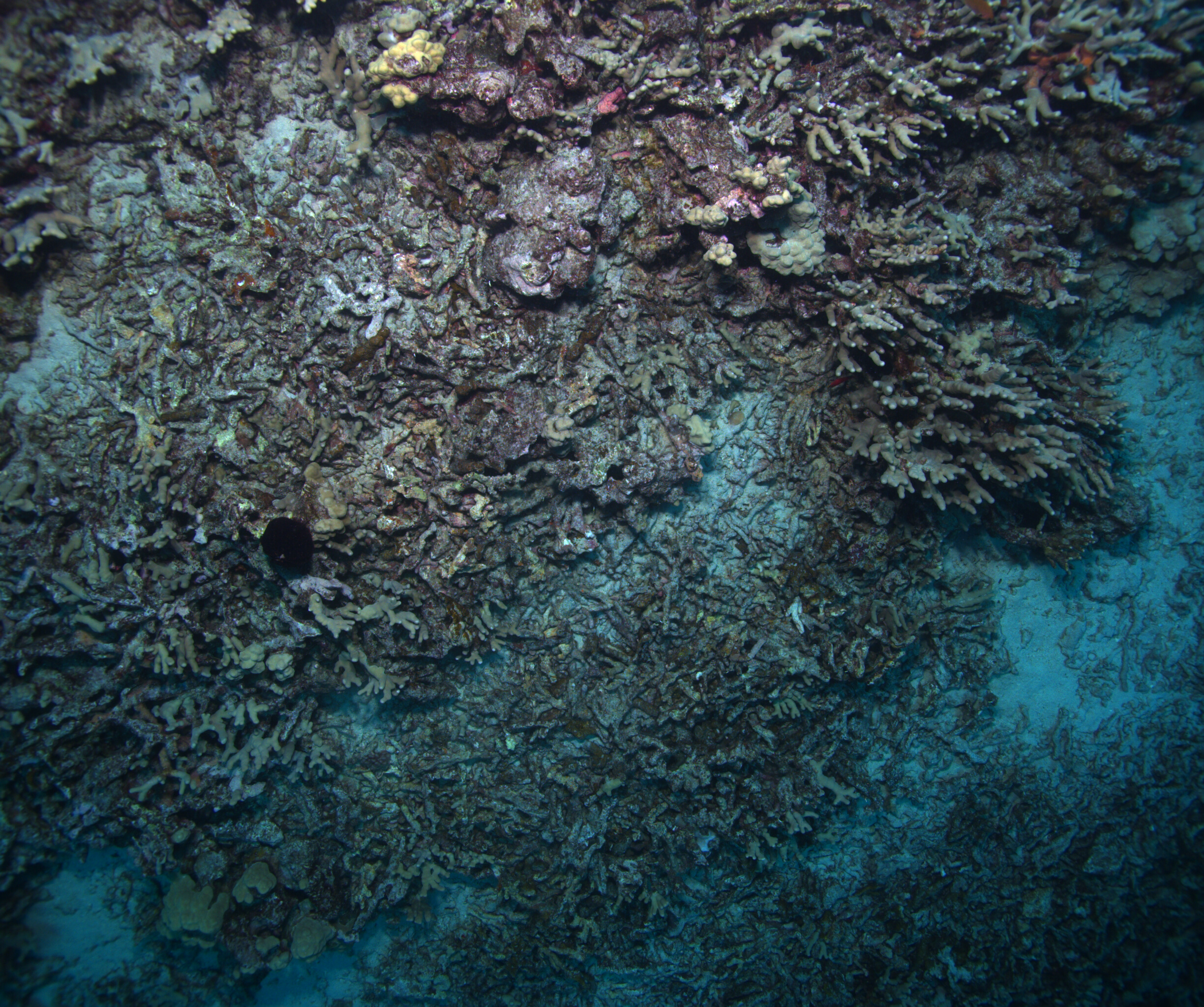
- Image Description: Digital image of the seafloor off Puuhonua o Honaunau National Historical Park, Island of Hawaii, HI, collected in April 2022 during USGS survey 2022-615-FA.
- Attribution URL: https://doi.org/10.5066/P13ZPWNS
- GPS Latitude: 19.4139735459889
- GPS Latitude Reference: N
- GPS Longitude: -155.908268331594
- GPS Longitude Reference: W
- GPS Time Stamp (UTC): 20:51:09
- GPS Date Stamp: 2022-04-15
- GPS Area Information: Post-processed kinematic (PPK) position from dual-frequency GNSS receiver mounted on boat.
- GPS Map Datum: EPSG:6322 (NAD83(PA11))
- Date/Time Original: 2022-04-15 20:51:09
- Date/Time Modified: 2022-06-01 18:38:06
- Artist: U.S. Geological Survey, Pacific Coastal and Marine Science Center
- Preserved Filename: DROPCAM_PUHO18_20220415205109_200-14.jpg
- External Metadata Link: https://www1.usgs.gov/pir/api/identifiers/USGS:f5463139-9562-4e39-b93b-079df58449cb
- Camera Make: TELEDYNE FLIR
- Camera Model: BFS-PGE-50S5C-C