The image displayed on this page is a thumbnail, please use the download function to obtain the full-resolution image.
Filename: P4_18oct2023_01-20231018172302_000-1.tif
This image is part of the data release:
In situ sediment bed images from South San Francisco Bay, California, 2023-2025
Image data:
- Keywords:
- Collection:
October 2023
- Field activity number:
2023-655-FA:
More images from FAN |
CMGDS details
- Topic: Geology
- Purpose: Field activity
- Class: Seafloor
- Subject: Sediment bed
- Semantic Location: South San Francisco Bay
- Science Center: Pacific Coastal and Marine Science Center
- File Size: 6090004 bytes
Imagery header data:
- Credit: U.S. Geological Survey
- Contact: pcmsc_data@usgs.gov
- Copyright: Public Domain - please credit U.S. Geological Survey
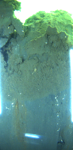
- Image Description: https://cmgds.marine.usgs.gov/services/activity.php?fan=2023-655-FA; Photograph of the sediment bed in South San Francisco Bay, CA from survey 2023-655-FA.
- Attribution URL: https://doi.org/10.5066/P14D723N
- GPS Latitude: 37.600562
- GPS Latitude Reference: N
- GPS Longitude: -122.177405833333
- GPS Longitude Reference: W
- GPS Time Stamp (UTC): 17:23:02
- GPS Date Stamp: 2023-10-18
- GPS Area Information: Horizontal accuracy derived from GPS instrumentation better than 5 meters (m)
- GPS Map Datum: EPSG:4326 NAD83(2011)
- Date/Time Original: 2023-10-18 17:23:02
- Date/Time Modified: 2023-12-05 11:24:50
- Artist: U.S. Geological Survey
- Preserved Filename: P4_18oct2023_01-20231018172302_000-1.tif
- External Metadata Link: https://data.usgs.gov/datacatalog/metadata/USGS.6824a529-5f8f-4ad5-8701-3754a4a26384.xml
- Camera Make: Teledyne Blackfly S Board Level
- Camera Model: BFS-GE-50S5C-BD2