Collect continuous, high-resolution seismic reflection profiles in Mississippi Sound.
Location
Pascagoula, Mississippi Sound, Biloxi Bay to Mobile Bay, mouth of Horn Island Pass, Mississippi, Dauphin Island, Alabama, United States, Gulf of America (Gulf of Mexico), North America, North Atlantic;
Summary
Seismic reflection profiles: 21 lines.
Info derived
Sea floor map;
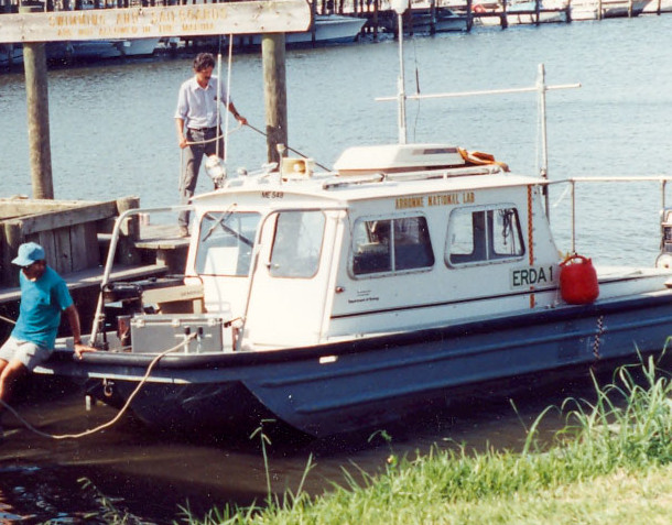
Comments
Information from St. Petersburg office.
Project = Mississippi/Alabama Pollution Project, Mississippi/Alabama Pollution Project