| Identifier | 2024-310-FA | ||||||||||||
|---|---|---|---|---|---|---|---|---|---|---|---|---|---|
| Alternate names | NASA Wallops | ||||||||||||
| Purpose | Collect bathymetry to initialize hydrodynamic model and acquire new seismic data to connect with existing offshore lines. This data will be used to help evaluate impacts of shoreface engineering activities on system ecogeomorphology. | ||||||||||||
| Location | Chincoteague Inlet; Wallops Island; Assawoman Island; Gargathy Inlet; shoreface; offshore; Virginia | ||||||||||||
| Summary | Field activity was completed on June 15, 2024. Shoreface singlebeam bathymetric data out to 4 m depth were acquired across the lengths of Wallops, Assawoman, and the emergent Gargatha islands, as well as along the northern tip of Metompkin Island and within the north and south channels of Gargathy Inlet. Adjacent MBES data were also acquired beyond 4 m depth, filling in bathymetry between areas covered by shallow singlebeam data and offshore MBES data acquired from earlier surveys. CHIRP seismic lines oriented parallel, perpendicular, and obliquely to shore were also acquired in tandem with MBES data. Additionally, seven sediment samples were acquired from Assawoman and Wallops islands, including one sample taken from an exposed marsh platform on the beach of Assawoman Island and six samples taken from the anthropogenically created lagoon and inlet complex on northern Wallops Island. | ||||||||||||
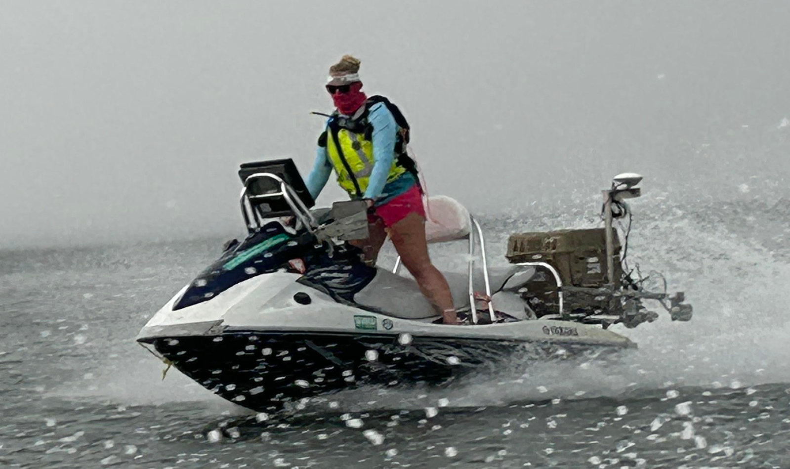
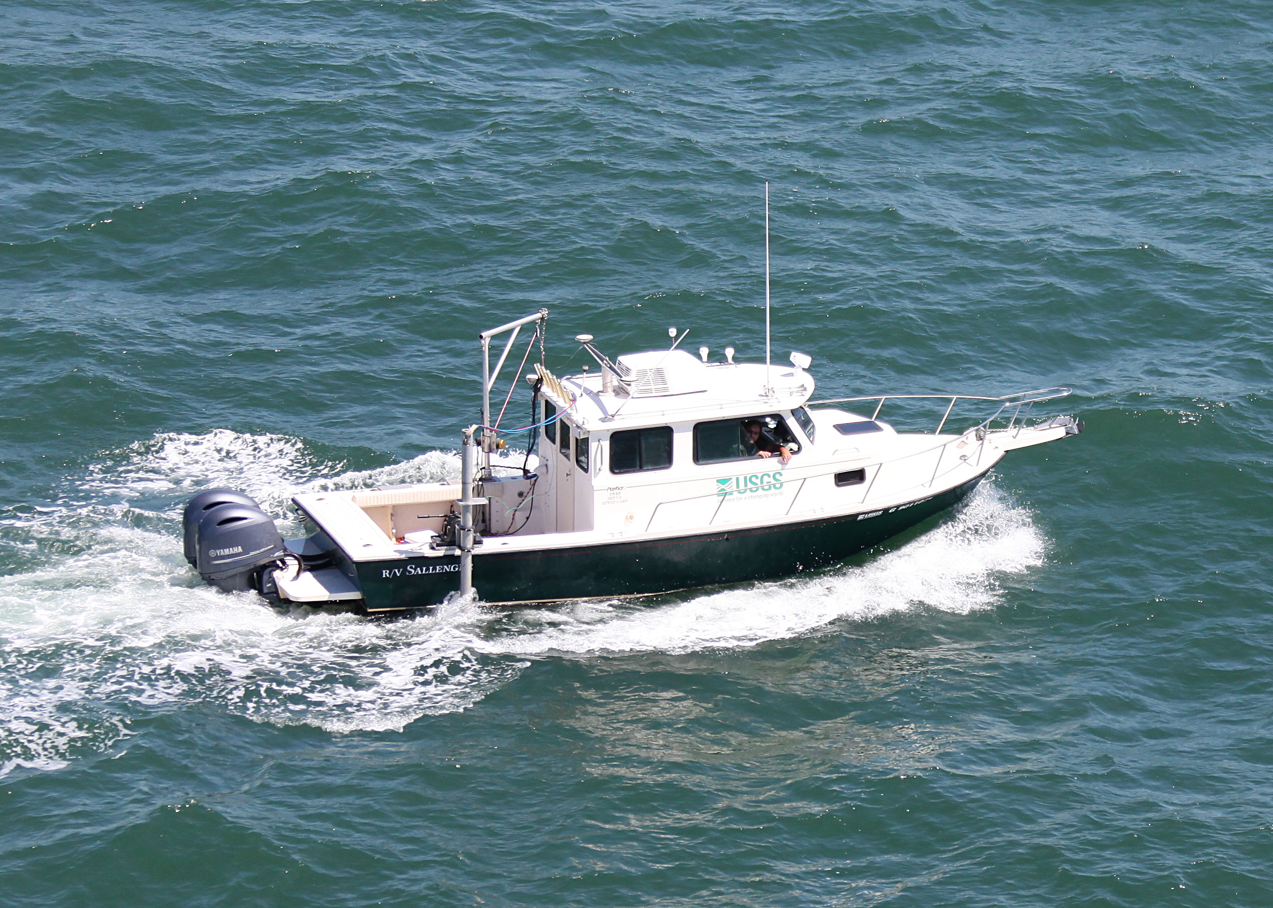
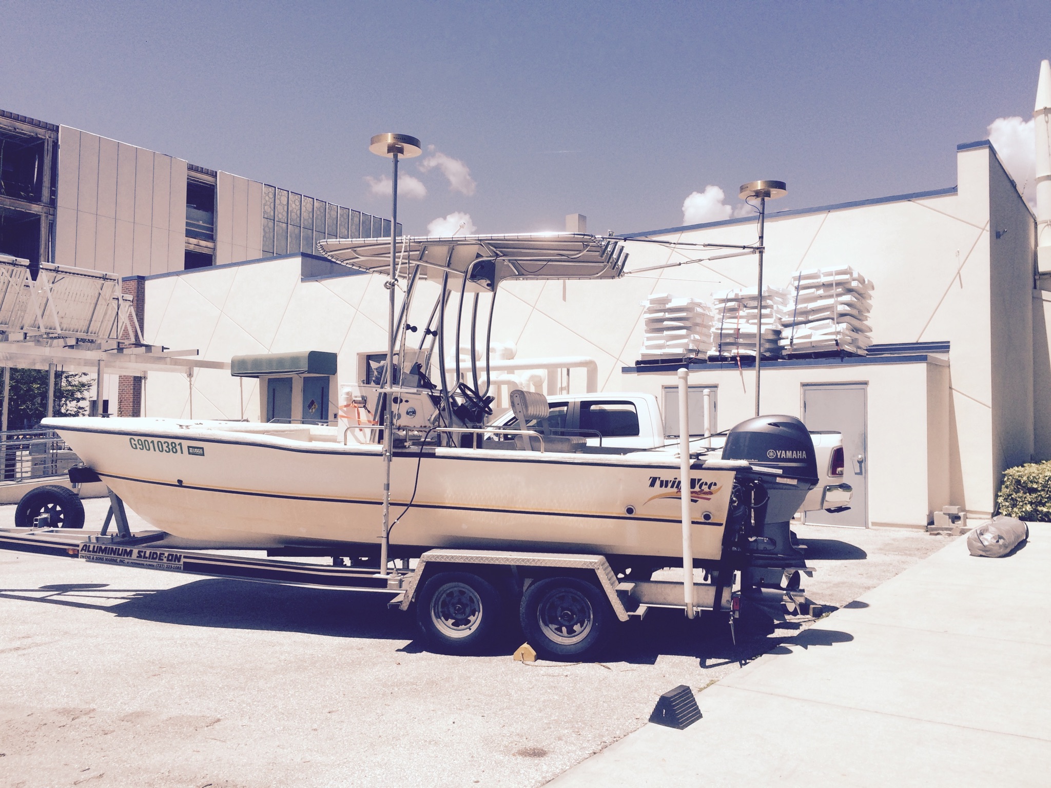
| Info derived | bathymetry, seismic profiles SubFAN identifiers: 24BIM01 = WVR1/Shark 24BIM02 = WVR2/Chum 24BIM03 = 512i Chirp Sled navigation/bathymetry 24BIM04 = Sallenger MBES and 512i Layback navigation All seismic acquisition will be collected under the larger FAN 2024-310-FA regardless of system. | ||||||||||||
| Projects | |||||||||||||
| Platform |
|
||||||||||||
| Vehicles | Chevy Suburban Silver
Ford Expedition Green
Ford F-250 Stone Grey
Ford F-350 Dually White (GSA)
|
||||||||||||
| Itinerary |
|
||||||||||||
| Bounds |
|
||||||||||||
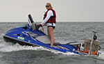
| Marine operations | Yes |
| Organization | National Aeronautics and Space Administration(NASA) |
||||||||||||||
|---|---|---|---|---|---|---|---|---|---|---|---|---|---|---|---|
| Organization |
600 Fourth Street South
St. Petersburg, FL33701-4846
(727) 502-8000
|
||||||||||||||
| Principal investigators | Jennifer L MiselisDaniel J Ciarletta | ||||||||||||||
| Crew members |
|
||||||||||||||
| Information specialist(s) |
|
| Data category: | Sampling, Location-Elevation, Seismics, Sonar |
|---|---|
| Data type: | Geology, Navigation, Sub Bottom Profiler, Sound Velocity, Single Beam, Multibeam |
| Equipment | Usage description | Data types | Datasets |
|---|---|---|---|
| Hand Grab Sampling | Geology, Biology, Chemistry | (no data reported) | |
| SP80 GNSS Receiver | Benchmarks, Navigation | 2 | |
| GPS Backpack | Navigation, Profiles, Transects | 2 | |
| Valeport SWiFT SVP | Sound Velocity | (no data reported) | |
| Castaway-CTD | Sound Velocity | (no data reported) | |
| Chirp 512i | Sub Bottom Profiler | (no data reported) | |
| Chirp 216 | Sub Bottom Profiler | 3 | |
| ODOM-Echotrac CV-100 | Single Beam | 2 | |
| Multibeam Bathymetry System | Multibeam | 2 |
| Dataset name | Equipment | Description | Dataset contact |
|---|---|---|---|
| 2024-310-FA_nav | SP80 GNSS Receiver | Navigation data for the entire survey, 1000-shot-interval locations, start of line locations, and data dictionary | Arnell S Forde |
| Wallops_Island_2024_ WGS84_UTM18N_Tracklines | SP80 GNSS Receiver | Single-beam bathymetry and beach elevation tracklines in WGS84 (G2139) UTM18N ellipsoid | Erin (Contractor) O Lyons |
| Wallops_Island_2024_Beach_NAD83_ FIPS4502_NAVD88_G18_xyz | GPS Backpack | Beach elevation data points (xyz) in NAD83 FIPS4502 and NAVD88 (orthometric height) with respect to the GEOID18 model | Erin (Contractor) O Lyons |
| Wallops_Island_2024_Beach_ WGS84_UTM18N_xyz | GPS Backpack | Beach elevation data points (xyz) in WGS84 (G2139) UTM18N ellipsoid | Erin (Contractor) O Lyons |
| 2024-310-FA_gis | Chirp 216 | Sub-bottom profile data geospatial files and data dictionary | Arnell S Forde |
| 2024-310-FA_segy | Chirp 216 | Digital chirp sub-bottom trace data | Arnell S Forde |
| 2024-310-FA_seisimag | Chirp 216 | Processed sub-bottom profile images | Arnell S Forde |
| Wallops_Island_2024_SBES_NAD83_ FIPS4502_NAVD88_G18_xyz | ODOM-Echotrac CV-100 | Single-beam bathymetry data points (xyz) in NAD83 FIPS4502 and NAVD88 (orthometric height) with respect to the GEOID18 model | Erin (Contractor) O Lyons |
| Wallops_Island_2024_SBES_ WGS84_UTM18N_xyz. | ODOM-Echotrac CV-100 | Single-beam bathymetry data points (xyz) in WGS84 (G2139) UTM18N ellipsoid | Erin (Contractor) O Lyons |
| Wallops_2024_MBES_Backscatter | Multibeam Bathymetry System | Processed acoustic intensity backscatter mosaic, derived from the 1-meter grid, provided as a 32-point GeoTIFF in WGS84 (G2139) ellipsoid | Christopher C Bemelmans |
| Wallops_2024_MBES_xyz | Multibeam Bathymetry System | Processed elevation point data (xyz) as derived from a 1-meter grid provided in both WGS84 (G2139) ellipsoid and NAD83 NAVD88 Virginia South State Plane Coordinate System GEOID18 | Christopher C Bemelmans |