| Identifier | 2025-313-FA | ||||||||
|---|---|---|---|---|---|---|---|---|---|
| Alternate names | 25BIM03 = WVR1; 25BIM04 = WVR2 | ||||||||
| Purpose | To collect 2025 pre-hurricane season bathymetry for Midnight Pass and Milton Pass that were recently created by the 2024 storms Helene and Milton. Updated bathymetry is needed to monitor geomorphological changes in the pass and track sediment distribution patterns. | ||||||||
| Location | Midnight Pass is located Siesta Key, FL; Milton Pass is located in Englewood, FL | ||||||||
| Summary | 84.2 Km of single-beam bathymetry data collected. 12 Sound Velocity Profile (SVP) Casts taken. | ||||||||
| Info derived | Bathymetry x, y, z data points to create 2025 digital elevation models as well as being applied in other analysis | ||||||||
| Comments | Funding account = GX23MN00V02FL25 | ||||||||
| Projects | |||||||||
| Platform |
|
||||||||
| Vehicles | Ford F-250 Stone Grey
Ford F-350 Dually White (GSA)
|
||||||||
| Itinerary |
|
||||||||
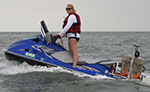
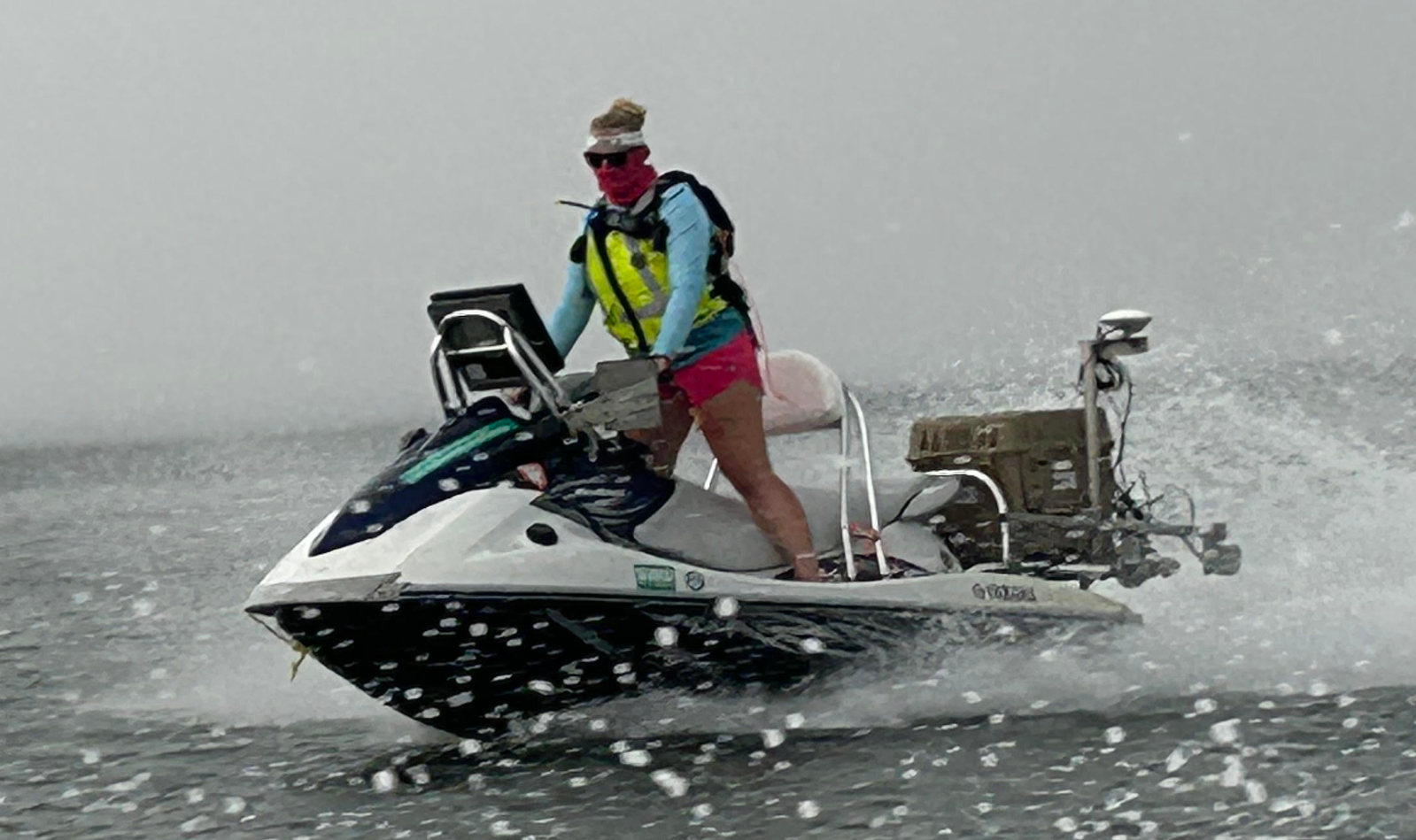
| Marine operations | Yes |
| Organization |
600 Fourth Street South
St. Petersburg, FL33701-4846
(727) 502-8000
|
|---|---|
| Principal investigators | Kara S DoranJennifer A Brown |
| Crew members | |
| Affiliate principal | USF |
| Affiliate staff | Ping Wang |
| Data category: | Sonar, Location-Elevation |
|---|---|
| Data type: | Sound Velocity, Single Beam, Benchmarks |
| Equipment | Usage description | Data types | Datasets |
|---|---|---|---|
| Castaway-CTD | Sound Velocity | (no data reported) | |
| Tripod | Mooring (physical oceanography), Benchmarks, Navigation | (no data reported) | |
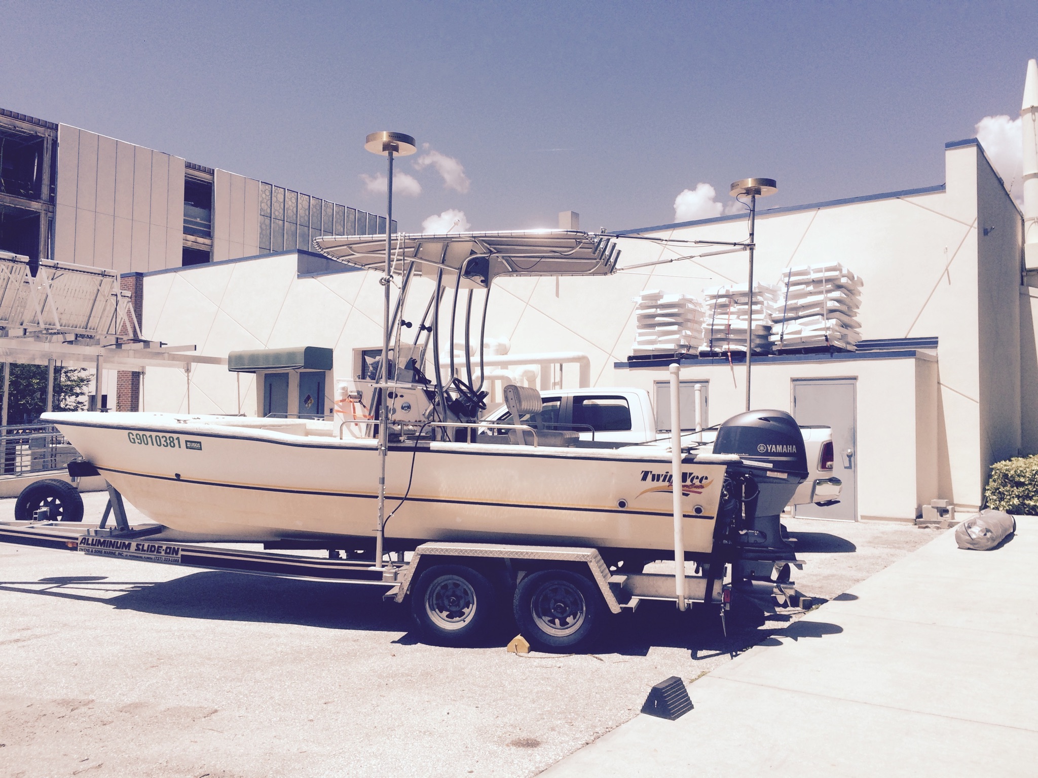
| SP90 GNSS Receiver | Benchmarks, Navigation | 2 | |
| SBG Ellipse A Motion Sensor | Single Beam | (no data reported) | |
| ODOM-Echotrac CV-100 | Single Beam | 6 |
| Dataset name | Equipment | Description | Dataset contact |
|---|---|---|---|
| Midnight_Pass_2025_SBES_WGS84_G2296_UTM17N_tracklines | SP90 GNSS Receiver | Single-beam bathymetry trackline shapefile in WGS84 (G2296) UTM 17N (.shp). | Christopher C Bemelmans |
| Milton_Pass_2025_SBES_WGS84_G2296_UTM17N_tracklines | SP90 GNSS Receiver | Single-beam bathymetry trackline shapefile in WGS84 (G2296) UTM 17N (.shp). | Christopher C Bemelmans |
| Midnight_Pass_2025_SBES_1m_DEM_WGS84_G2296_UTM17N | ODOM-Echotrac CV-100 | Single-beam bathymetry DEM, 1-m cell size in WGS84 (G2296) UTM 17N (.tif). | Christopher C Bemelmans |
| Midnight_Pass_2025_SBES_NAD83_NAVD88_GEOID18_UTM17N_xyz | ODOM-Echotrac CV-100 | Single-beam bathymetry data points (xyz) in NAD83 and NAVD88 (orthometric height) with respect to the GEOID18 model UTM 17N (.txt). | Christopher C Bemelmans |
| Midnight_Pass_2025_SBES_WGS84_G2296_UTM17N_xyz | ODOM-Echotrac CV-100 | Single-beam bathymetry data points (xyz) in WGS84 (G2296) UTM 17N ellipsoid height (.txt). | Christopher C Bemelmans |
| Milton_Pass_2025_SBES_1m_DEM_WGS84_G2296_UTM17N | ODOM-Echotrac CV-100 | Single-beam bathymetry DEM, 1-m cell size in WGS84 (G2296) UTM 17N (.tif). | Christopher C Bemelmans |
| Milton_Pass_2025_SBES_NAD83_NAVD88_GEOID18_UTM17N_xyz | ODOM-Echotrac CV-100 | Single-beam bathymetry data points (xyz) in NAD83 and NAVD88 (orthometric height) with respect to the GEOID18 model UTM 17N (.txt). | Christopher C Bemelmans |
| Milton_Pass_2025_SBES_WGS84_G2296_UTM17N_xyz | ODOM-Echotrac CV-100 | Single-beam bathymetry data points (xyz) in WGS84 (G2296) UTM 17N ellipsoid height (.txt). | Christopher C Bemelmans |