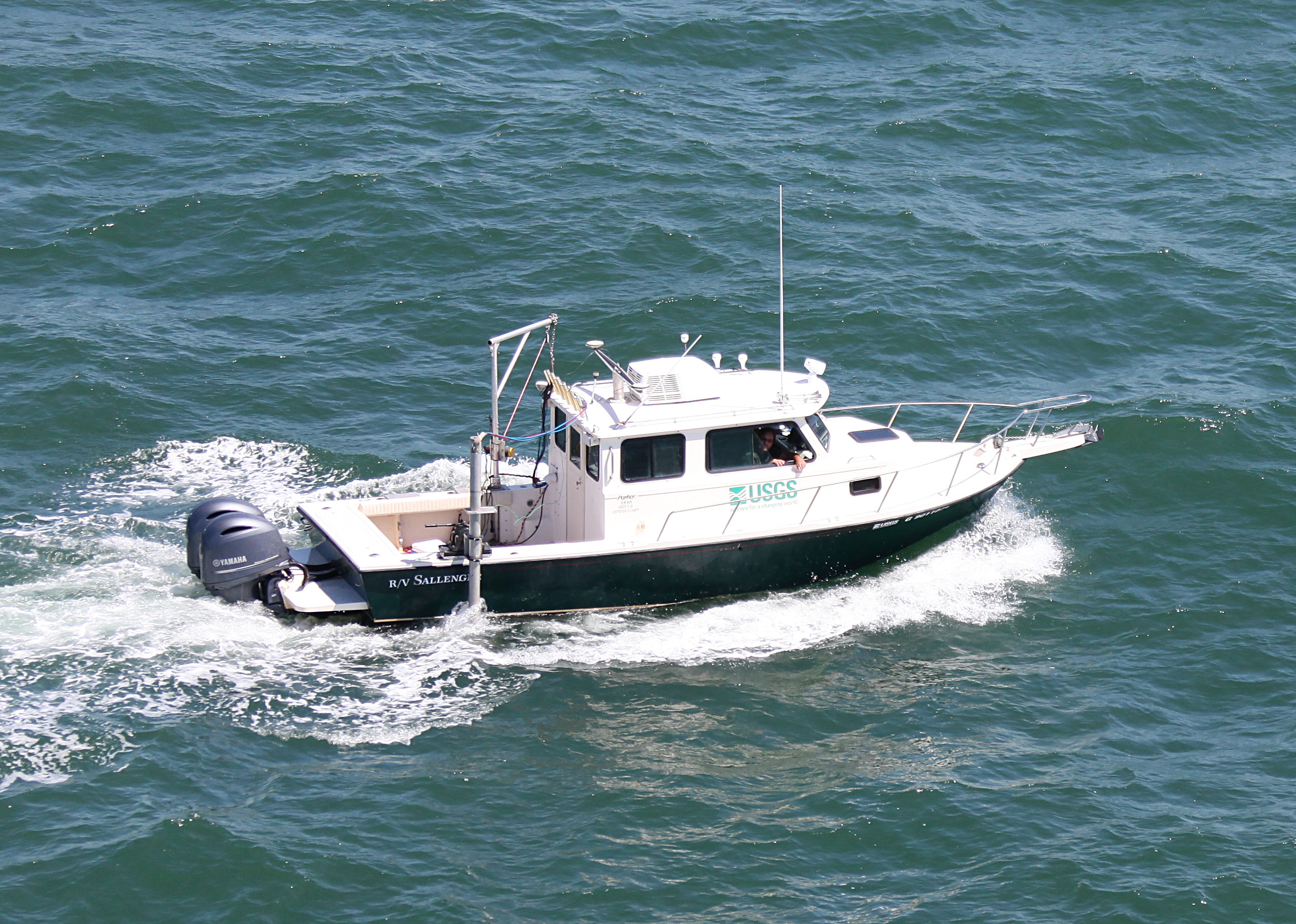
Field Activity 2023-320-FA

Identifier 2023-320-FA
Purpose Multibeam shoreface mapping in support of beach and dune monitoring
Location Rockaway Beach, NY, United States, Atlantic Ocean
Info derived Seafloor depth, surficial sediment
Projects
Related activities
2019-333-FA: Project
2021-319-FA: Project
Platform
Sallenger
26' Parker
Vehicles
Ford F-350 Dually Grey (GSA)
Itinerary
Start Rockaway Beach, NY 2023-05-12
End Rockaway Beach, NY 2023-05-31
Days in the field 16
Bounds
West -73.95093262
East -73.7519449
North 40.61196925
South 40.53099105
Marine operations Yes

Personnel

Organization
600 Fourth Street South
St. Petersburg, FL33701-4846
(727) 502-8000
Principal investigators Jennifer L MiselisEmily A Wei
Crew members
Dewitt, Nancy
Scientist, Staff
Chelsea A Stalk
Scientist, Staff
Andrew S Farmer
Scientist, Staff
Benjamin A Galbraith
Scientist, Staff
Information specialist(s)
Dewitt, Nancy
Specialist, Information
Chelsea A Stalk
Specialist, Information
Andrew S Farmer
Specialist, Information

Data types and categories

Data category: Sonar, Sampling
Data type: Sound Velocity, Multibeam, Geology

Equipment used

Equipment Usage description Data types Datasets
Valeport MiniSVS Sound Velocity (no data reported)
Castaway-CTD Sound Velocity (no data reported)
Multibeam Bathymetry System Multibeam (no data reported)

Publications

Samples collected during this field activity