| Identifier |
2016-687-FA |
| Also known as |
Airborne SfM |
| Purpose |
collect photos, navigation |
| Location |
Monterey Bay |
| Summary |
Collected 3234 oblique coastal aerial survey images from San Francisco to Monterey. Note: camera time in UTC. |
| Info derived |
photos, navigation |
| Comments |
FAN added for data collected 2016-12-01 |
| Projects |
|
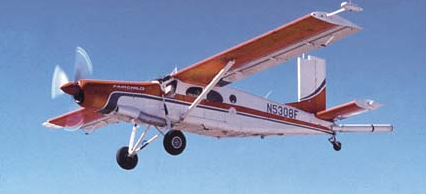
| Platform |
| Airplane |
 |
|
| Vehicles |
|
| Itinerary |
| Start |
(port not specified) |
2016-12-01 |
| End |
(port not specified) |
2016-12-01 |
| Days in the field |
1 |
|
| Bounds |
| West |
-124.27047729 |
| East |
-119.27047729 |
| North |
39.98974368 |
| South |
34.98974368 |
|